
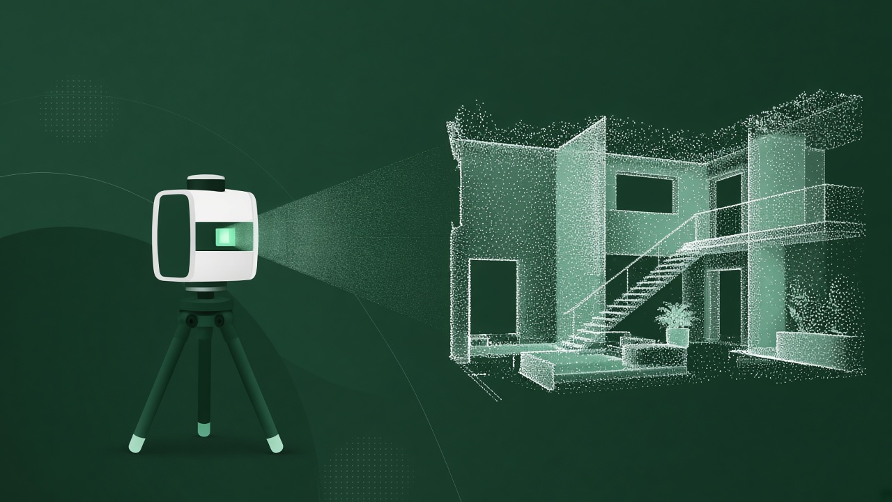
Measured surveys and laser scans are some of the largest files a business ever creates. When storage bills come in or a business winds down, they’re often the first thing someone suggests deleting. That can be a mistake.
Why AI developers are interested
Tools that understand buildings, sites and spaces need real examples to learn from. A point cloud of a real building, alongside the drawings and models produced from it, shows how raw measurements become usable information. That pairing is hard to create artificially.
What’s worth keeping
- Raw and registered point clouds from laser scanning
- Measured building and topographical survey drawings
- Models and CAD files produced from the scans
- Control and registration reports, and notes on accuracy
- Photography and site notes linked to each job
The links matter
A scan on its own is useful. A scan linked to the drawing it became, the brief behind it and the notes about what was difficult is much more useful. If you’re tidying up storage, try to keep the folder structure and project references together rather than splitting files by type.
Privacy and rights
Scans can capture people, vehicles and private property. Those details are dealt with before anything moves, and some jobs may be left out entirely. Rights also need checking: who commissioned the survey and what the terms said. That happens before any detailed review.
Before you delete
Moving old scans to cheaper offline storage is usually far less costly than losing them for good. If you’re not sure, send us a short description of what you have.
See also CAD and BIM archives when a business closes.
Questions about a particular archive? Email [email protected] or tell us what you’ve got.
Got records you think might be worth something? A short description is enough for a free first look.